Location
Embassy Hub Yelahanka Location and Connectivity

Anyone assessing the Embassy Hub Yelahanka location and connectivity picture should start with one distinction. This is an infill parcel inside a finished township, not a land bank waiting for a road to arrive. Kogilu Cross and NH-44 sit to the south-west, the Bagalur Cross arterial runs north, and the restored lake park with its walking loop lies directly west. Site access comes off the Kogilu and Venkatala road network.
Raw distance understates what the address does. Because the signal-free elevated stretch of Bellary Road begins just south of the parcel, the 21 km airport run takes 30–35 minutes rather than the hour-plus that a comparable distance costs elsewhere in the city. Road, rail and metro converge on the same pocket, which few Bengaluru localities manage.
✦ Embassy Hub Yelahanka Location and Connectivity: The Metro Position
The Embassy Hub nearest metro station is Yelahanka Station on the Namma Metro Blue Line Phase 2B airport corridor, approximately 1.3 km from the parcel and currently under construction. Once commissioned, it links this address directly to Hebbal, to Nagawara for the Pink Line interchange, to K.R. Puram for the Purple Line interchange, and onward to Kempegowda International Airport.
Rail adds a second layer. Yelahanka Junction, one of North Bengaluru's more significant railway nodes and a designated Bengaluru Suburban Rail interchange, sits roughly 2.5 km away and is undergoing large-scale redevelopment. Beyond those, the Peripheral Ring Road and Satellite Town Ring Road works land on the same catchment, alongside NH-44, Doddaballapur Main Road and the Outer Ring Road via Hebbal.
✦ Airport and Highway Access
Kempegowda International Airport lies approximately 21 km away, a 30–35 minute drive off-peak on NH-44. Genuine airport proximity without airport isolation is why aviation and aerospace leadership cluster in this pocket rather than in the sparser Devanahalli belt. Buyers who ask about the Embassy Hub distance from Bangalore airport usually care less about the kilometre figure than about whether the run holds up on a weekday evening, and the elevated stretch is what makes it hold.
Highway access begins about a kilometre from the parcel. Kogilu Cross NH 44 connectivity carries the north-south load toward the airport and south toward Hebbal, with the Outer Ring Road picking up east-west movement from there. Doddaballapur Main Road offers a parallel route north-west when the national highway is congested.
✦ Reaching the Employment Belt
Households asking how to reach Embassy Hub from Hebbal and Manyata have a straightforward answer: NH-44 south to Hebbal, then the Outer Ring Road east toward Nagavara. Hebbal Flyover sits about 9.5 km out at 20–25 minutes off-peak, and the Manyata cluster follows at roughly 10 km and 22–28 minutes. Anyone shortlisting apartments near Manyata Embassy Business Park will find that band at the outer edge of a comfortable daily commute rather than beyond it.
Closer employment exists too. Bhartiya City Tech District sits about 8 km out, Kirloskar Business Park and the L&T Tech Park at Hebbal at roughly 9.5–10 km, and Karle Town Centre SEZ at about 10 km. To the north-east, the KIADB Aerospace Park and the Airport City commercial district sit around 22 km away.
✦ Distance Matrix
Figures below are approximate road distances measured from the project pin, with off-peak indicative drive times. Actual routing and travel time will vary with traffic and with completion of the metro and ring-road works described above.
Transit and Commute
Kogilu Cross, NH-44 junction - ~1.0 km · 3–4 min
Yelahanka Metro Station, Blue Line (under construction) - ~1.3 km · 4–5 min
Yelahanka Junction Railway Station - ~2.5 km · 7–8 min
Hebbal Flyover - ~9.5 km · 20–25 min
MG Road and the Central Business District - ~20 km · 45–55 min
Kempegowda International Airport - ~21 km · 30–35 min
Employment
Yelahanka Air Force Station - ~3.0 km · 8–10 min
Bhartiya City Tech District, Thanisandra - ~8.0 km · 18–22 min
Kirloskar Business Park, Hebbal - ~9.5 km · 20–25 min
L&T Tech Park (Raintree Boulevard), Hebbal - ~10 km · 22–26 min
Karle Town Centre SEZ, Nagavara - ~10 km · 22–28 min
Manyata Embassy Business Park - ~10 km · 22–28 min
KIADB Aerospace Park, Devanahalli - ~22 km · 30–35 min
Airport City / Devanahalli Business Park - ~22 km · 30–35 min
Education
Podar Global School, Bagalur Cross - ~2.0 km · 6–8 min
Canadian International School, Yelahanka - ~2.5 km · 7–8 min
Ryan International School, Yelahanka - ~2.5 km · 7–8 min
Cambridge Public School, Yelahanka Satellite Town - ~3.5 km · 10–12 min
Mallya Aditi International School, Yelahanka New Town - ~4.0 km · 10–12 min
EuroSchool North Campus, Kogilu Main Road - ~4.0 km · 10–12 min
Vidyashilp Academy, near Yelahanka Air Force Station - ~5.0 km · 12–15 min
REVA University, Kattigenahalli - ~5.0 km · 12–15 min
Stonehill International School, Tarahunise - ~9.0 km · 18–22 min
Healthcare
Manipal Hospital Yelahanka, Venkatala - ~0.6 km · 2 min
Cytecare Cancer Hospital, near Bagalur Cross - ~1.8 km · 5–6 min
Sparsh Hospital, Kogilu Cross - ~2.5 km · 7–8 min
Navachethana Hospital, Yelahanka New Town - ~3.0 km · 8–10 min
Aster CMI Hospital, Sahakar Nagar - ~8.0 km · 16–20 min
Columbia Asia Hospital, Hebbal - ~10 km · 22–26 min
Retail and Leisure
Yelahanka Kere and Lake Park - ~0.8 km · 2–3 min
The Galleria Mall, Yelahanka - ~3.0 km · 8–10 min
Jakkur Lake and Aerodrome - ~5.0 km · 12–15 min
Phoenix Mall of Asia, Byatarayanapura - ~6.0 km · 13–16 min
Bhartiya Mall of Bengaluru, Thanisandra - ~8.0 km · 18–22 min
Hebbal Lake - ~9.5 km · 20–25 min
✦ What the Address Does Not Do
Balance matters. Reaching the Central Business District takes 45–55 minutes across roughly 20 km, so a household anchored to MG Road will feel that distance daily. Whitefield and Electronic City sit well outside a comfortable commute from here. Peak-hour load on the national highway and at Hebbal remains real, and the metro that will relieve much of it is still under construction. Weigh those against the school density, the healthcare depth and the civic quality that draw buyers north in the first place. Our team can map a specific commute for you against a weekday timing rather than an off-peak one, which is the figure that actually governs a household decision.
Frequently Asked Questions
Latest Blog
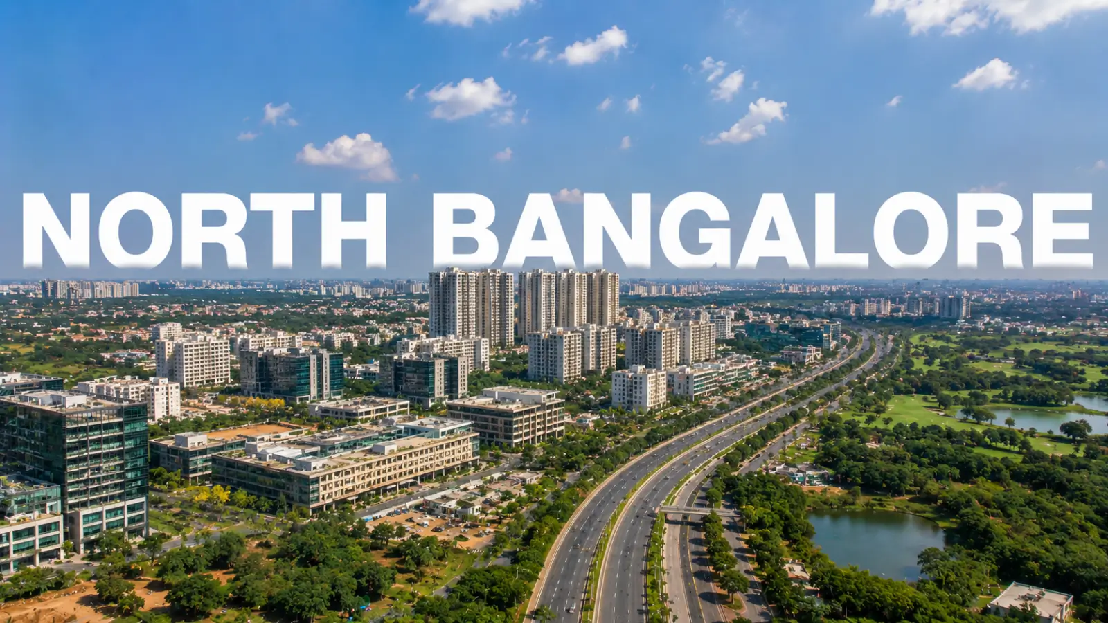
Where to Find the Best Apartments in North Bangalore
Where to Find the Best Apartments in North Bangalore explores luxury projects in Hebbal, Thanisandra, Yelahanka and Devanahalli.
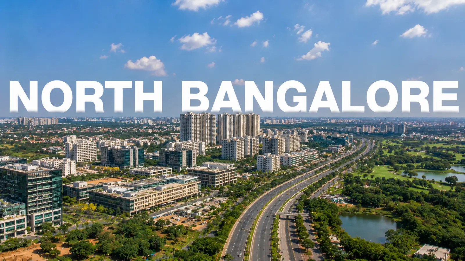
Investment Guide: North Bangalore – Where the City's Growth Money Is Heading
Investment Guide: North Bangalore compares property prices, rental yields, growth drivers, key micro-markets and risks for long-term investors.
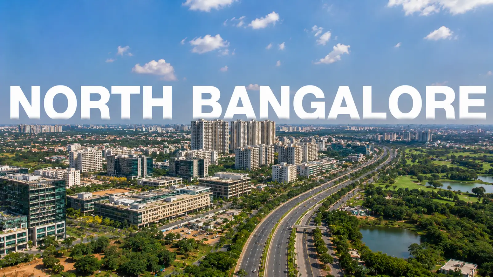
North Bangalore Area and Infrastructure Guide: How the City's Northern Corridor Is Taking Shape
North Bangalore Area and Infrastructure Guide covers key localities, airport access, highways, metro and rail projects, jobs, property prices and buyer checks.
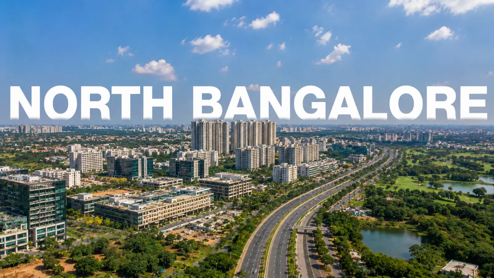
Villa & Plot Projects in North Bangalore: The Complete 2026 Guide
Explore 8 villa & plot projects in North Bangalore, comparing developers, locations, property types, amenities, timelines and key checks before booking.
Book a Site Visit —
Location
Share your details and our sales team will reach out shortly to arrange a private walkthrough.